WSJ: These Photos Show How Urban Growth Fuels Extreme Heat
A massive heat dome across the American Southwest is driving temperatures in Phoenix and Las Vegas to record triple-digit highs. New Maxar satellite photos show how the growth of these cities is contributing to the crushing heat. Illustration: Luca Depardon
The Southwest is experiencing triple-digit temperatures that could go on for weeks
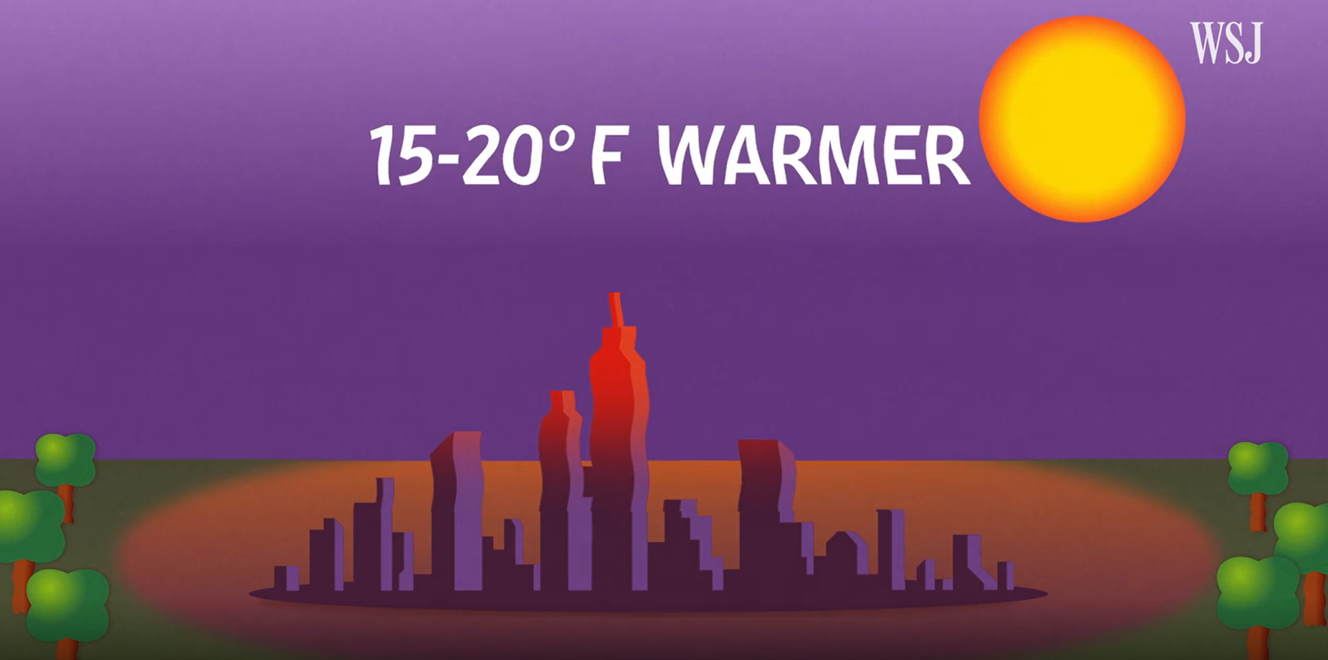
An abnormally brutal heat wave has been ramping up across the Western and Southwestern United States. The dire implications for public health, wildlife, and ecological systems requires us to think deeply about the intersection between Land Use, urban growth and the summertime "Heat Island" effect that captures dense cities in regional "Heat Domes" of extreme temperatures.
The dramatic densification that was encouraged in the repealed Land Development code and in the Statewide housing densification bill (SB23-213), would have made our local Heat Island Effect worse in several ways, including but not limited to: the cutting down of large, mature shade trees; paving over heat-reducing and carbon-capturing green open spaces; and the construction of tall, heat-reflecting buildings with glass windows and impervious surfaces (concrete, asphalt, hardscape) that greatly increase the amount of the sun's heat that is radiated back into the atmosphere. Local Heat Island Effects contribute to a regional Heat Dome, which traps dense cities and whole regions in unbearable heat. Phoenix and Las Vegas offer two stark examples of growing cities experiencing brutal heat worsened by urban densification, and their associated Heat Island Effect. We should not encourage dramatic urban densification that will make our summer heatwaves worse and our city less livable.
